Our Service
Gis & Smart Mapping Solutions

Gis & Smart Mapping Solutions
 Unlock geospatial intelligence for better
planning, tracking, and decision-making


Gis & Smart Mapping Solutions

15+
Year of Experience
500cr+
Worth of
Projects Delivered
Projects Delivered
10+
10+ Smart & Safe
City Implementations
City Implementations
Pan-India
+ Middle East
Operational Presence
Operational Presence
E-Governance
Offering Tailor-made
E-Governance Solutions
E-Governance Solutions
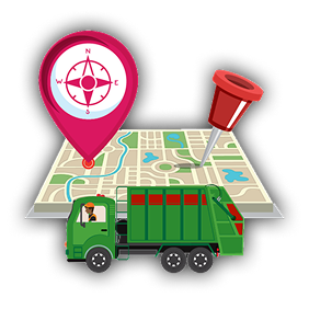
Drone-Based GIS Mapping
- Aerial Land Surveys & 3D Mapping
- Infrastructure & Terrain Analysis
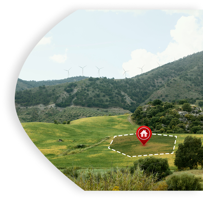
AI-Powered Geospatial Analytics
- Urban Planning & Environmental Monitoring
- Smart Agriculture & Resource Optimization